
The Kyoto City Road Origin Marker stands at the southwest corner of the Karasuma–Sanjo intersection in central Kyoto. It marks the official reference point from which road distances within Kyoto City were once measured.
Although easily overlooked amid the surrounding office buildings and busy traffic, the marker represents an important part of Kyoto’s modern urban development. Similar markers were installed throughout Japan under the early twentieth-century road administration system.
Today, it remains a small but significant reminder of the city’s modernization and transportation history.
History
The Road Origin Marker was established under Japan’s Road Act of 1919, which required municipalities to designate an official starting point for measuring road distances.
Kyoto selected the Karasuma–Sanjo intersection as its reference point because of its central location within the city’s street network. From here, official distances along municipal roads were calculated.
Although the marker no longer serves an administrative purpose, it has been preserved as a historical monument illustrating the modernization of Kyoto’s transportation infrastructure. As many similar markers across Japan have disappeared, Kyoto’s remains a valuable example of early twentieth-century civil engineering heritage.
Highlights
Official Starting Point for Kyoto’s Roads
The marker once served as the reference point for measuring road distances throughout Kyoto City.
Legacy of Modern Urban Planning
Installed under the 1919 Road Act, it reflects Japan’s modernization of transportation infrastructure.
Historic Landmark in Downtown Kyoto
The marker survives at one of Kyoto’s busiest intersections.
Hidden Piece of Civil Engineering History
It offers insight into the development of Kyoto’s modern road network.
Easy Addition to a City Walk
Its central location makes it convenient to visit while exploring nearby historical and architectural attractions.
Visit Tips
The marker is located beside the sidewalk at the busy Karasuma–Sanjo intersection, so be mindful of traffic while viewing it.
Nearby attractions include the Museum of Kyoto, Rokkaku-do Temple, ShinPuhKan, the Kyoto International Manga Museum, and Honno-ji Temple, making this an excellent stop during a walk through central Kyoto.
Information
| Access |
|
|---|
Nearby Attractions
Distances shown are straight-line distances from your current location. Actual walking routes and travel distances may vary.
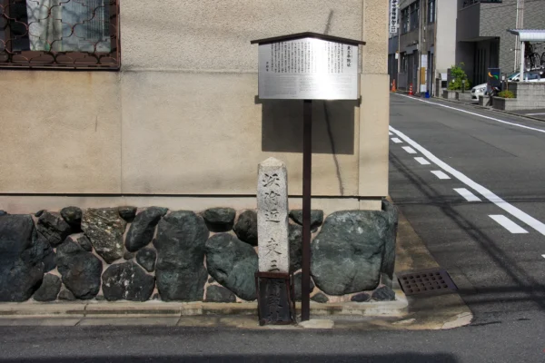
Site of the Tosanjo-in Palace
About 245m
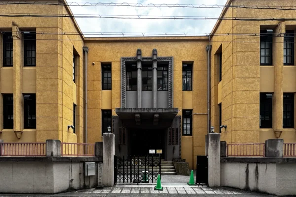
Former Ryuchi Elementary School (Kyoto International Manga Museum)
About 256m
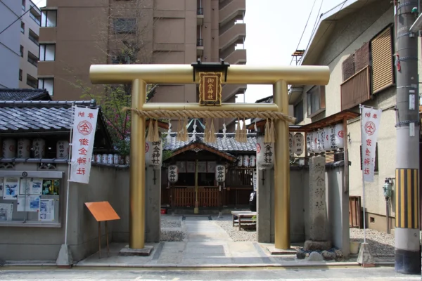
Mikane Shrine
About 339m
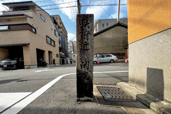
Site of the Kan'in Imperial Palace
About 387m
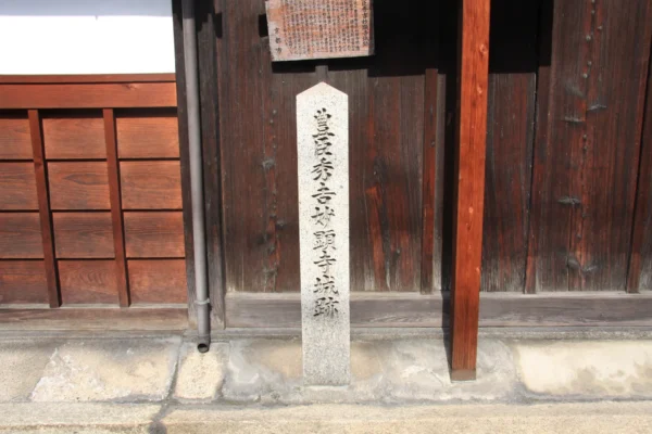
Site of Toyotomi Hideyoshi's Myokenji Castle
About 392m
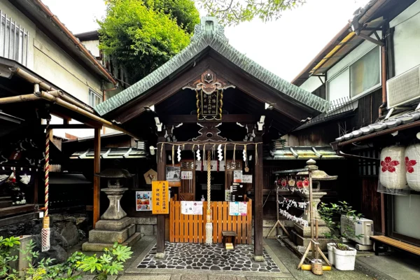
Takamatsu Shinmei Shrine
About 404m

Daimaru Villa (Former Shimomura Shotaro Residence)
About 446m
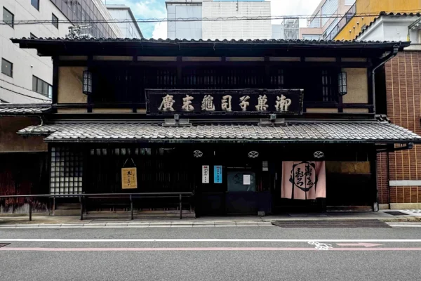
Kamesuehiro
About 454m
Map
Share a Travel Note
Share useful details from your visit, such as crowd levels, the best time to go, and seasonal conditions.