Recommended Driving Course

Oharano Half-Day Sightseeing Course

Explore the peaceful western hills of Kyoto by visiting Yoshimine-dera, Jurin-ji, Shobo-ji, Oharano Shrine, Shoju-ji (Flower Temple), and Gantoku-ji. This scenic course offers magnificent views, historic temples, and beautiful seasonal landscapes.

Travel distance

Approx. 8 km

Duration

Approx. 4.5–5.5 hours

Recommended start

Around 9:00 a.m.

Transportation

Car or taxi recommended

Arashiyama Course Map

Course Map

The numbered markers correspond to the sightseeing order.

Arashiyama Walking Route

Course Route

Start at the hillside Yoshimine-dera Temple and make your way downhill through the historic temples and shrines of Oharano.

1

STOP 01

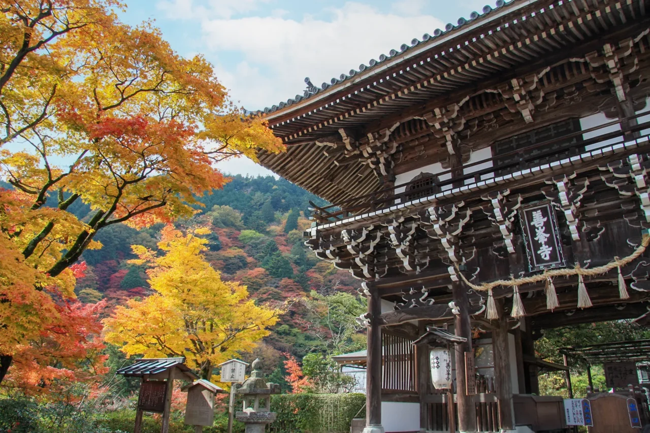
Yoshimine-dera Temple

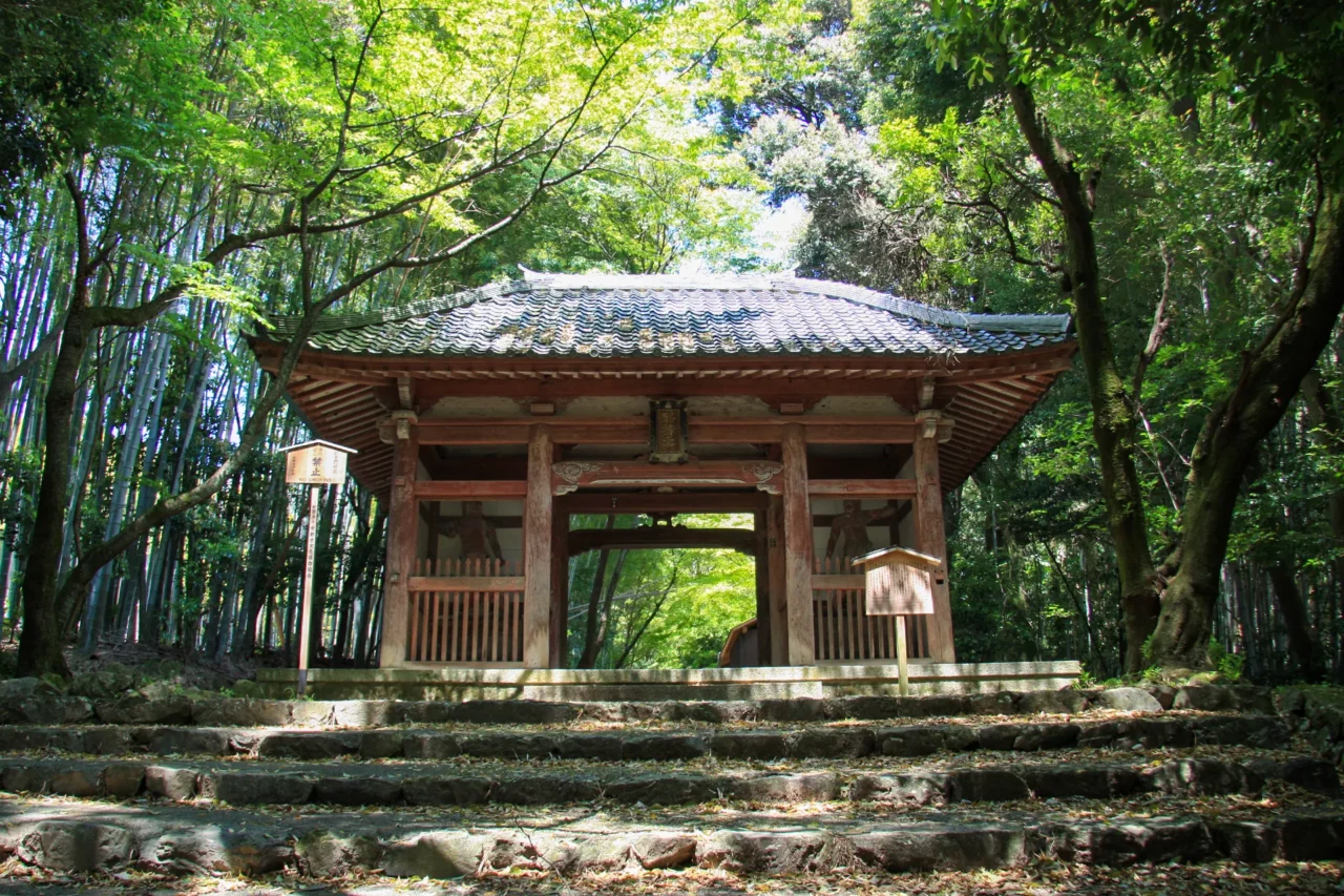
A spectacular mountainside temple known for panoramic views over Kyoto, the famous "Yuryu-no-Matsu" pine tree, and beautiful seasonal flowers.

Suggested visit: About 60 min.
View details
About a 10-minute drive
2

STOP 02

Jurin-ji Temple

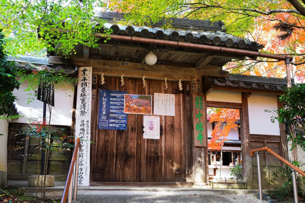
Known as Narihira Temple, it is closely associated with Ariwara no Narihira and is famous for its magnificent weeping cherry tree.

Suggested visit: About 30 min.
View details
About a 5-minute drive
3

STOP 03

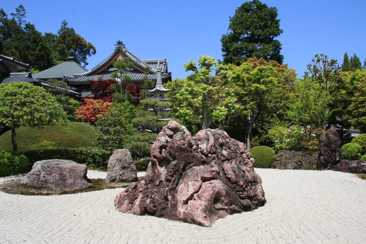
Shobo-ji Temple

A peaceful temple famous for its impressive stone garden and elegant rock arrangements.

Suggested visit: About 30 min.
View details
About a 3-minute drive
4

STOP 04

Oharano Shrine

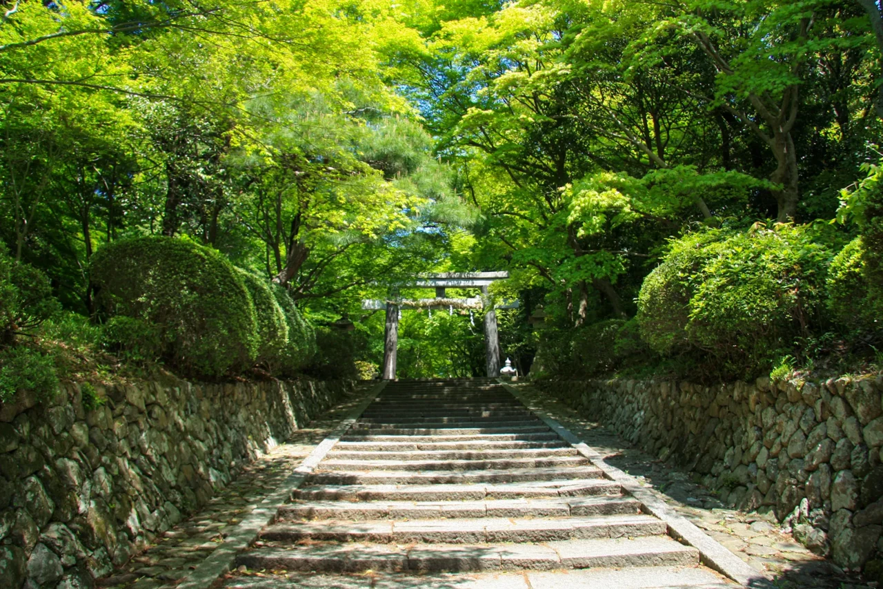
Founded as the first branch of Kasuga Taisha, this shrine is known for its beautiful woodland setting and scenic pond.

Suggested visit: About 30 min.
View details
About a 5-minute walk
6

STOP 06

Gantoku-ji Temple

A quiet temple housing the National Treasure Nyoirin Kannon statue, offering a peaceful finale to the Oharano journey.

Suggested visit: About 20 min.
View details
Final stop

Route Highlights

  • Enjoy panoramic views from Yoshimine-dera Temple
  • Visit Shoju-ji, famous for cherry blossoms and autumn colors
  • Discover temples connected with Ariwara no Narihira
  • Experience the peaceful countryside of western Kyoto

Before You Start

Although it is possible to walk between the sites, the distances and elevation changes make travel by car or taxi much more convenient.

※The route shown connects the locations in sightseeing order and may differ from actual roads.